Mud Lane, nr Wootton Rivers, Wilts.
(also near Forest Road)
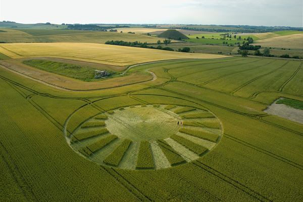
Detail & Location: This circle was reported on the 9th of June. It is in a field of wheat and measures approximately 250ft in length. It is close to Wootton Rivers along Forest Road and by Mud Lane pathway. See the Google Maps link for precise location.
Crop Circle Reporting and Covid-19: As in 2020, we will not be censoring crop circle locations during the continuing Covid-19 pandemic. We consider the reporting of crop circles to be in the spirit of journalism, and censorship to be an anathema to that spirit. Therefore, we will be treating the crop circle community as adults and asking everyone to approach the information carefully and responsibly. This will include not visiting the circles if the farmer has not given explicit permission to do so and should permission be given adhering to any covid restrictions in place.
Flying during the Covid-19 Pandemic: The UK is coming out of covid restrictions in the UK during the early summer of 2021. However, the restrictions of the past year have had a heavy impact on the aviation industry. Flying will continue to be very challenging for us this year, with access to aircraft and pilots still very restricted. We will continue to cover the season, flying where we can, while continuing to work photographer colleagues to bring you as much coverage as we can. We’d like to extend our deep gratitude to all those who generously share their images with us.
Visiting: As far as we are aware no permission has been given to visit this crop circle. Please do not visit this circle. Thank you.
History & Connections: There was once a tumulus present in the same field indicated on the Ordnance Survey map. In fact the crop circle seems to sit right over the top of it. There is no sign of it in the field any longer, but there is something in the field immediately to the north which looks like a barrow, so the location may not be accurate on the Ordnance Survey map. There are also tumuli dotted around this areas and a lever earthwork – again these are hard to see from the air. Near-by Savernake Forest also contains many barrows, so this area was evidently important to our ancestors.
You can read more about Savenake Forest here.
Design & Symbolism: This circle certainly looks like it was referring to the partial solar eclipse visible from the UK on June 10th. In fact one visitor was able to visit the circle and watch the eclipse from inside the crop circle! It is not the first time that crop circles have made reference to astronomical events. See the Geometry Gallery below for more information.
Visiting the Circles? If you are thinking of visiting any crop circles this summer, please read our Visiting the Crop Circles section. It’s full of useful information and etiquette for visiting the countryside and the crop circles. Please remember that you should not enter any fields without the express permission of the farmer and you will need to be aware of and abide by any restrictions in place in the UK in response to the Covid-19 pandemic.
Click here for Copyright Information about the reproduction of images on this website.
Please Help to keep us Flying in 2021: If you have enjoyed looking at our pictures and information please consider making a small donation to keep us flying. There are so few of us left regularly recording the circles it’s really important that we continue. And while some now use drones to record the circles, it is important that there are still images taken from aircraft where the best quality camera equipment can be used and images that include the broad vista of the landscape can be taken. This kind of photography is expensive and it gets harder with each passing year to raise the funds we need to continue our work, but if everyone who regularly looked at this website made a small donation we would meet the funds we need. You can make a donation here.
NOTE: Some of the images below are beautiful landscape scenes. Click on each image to enlarge them and see the whole picture.
Special Thanks: to Guy Shepherd for allowing us to include images he took inside this circle – including one he took of the partial eclipse while in the circle!
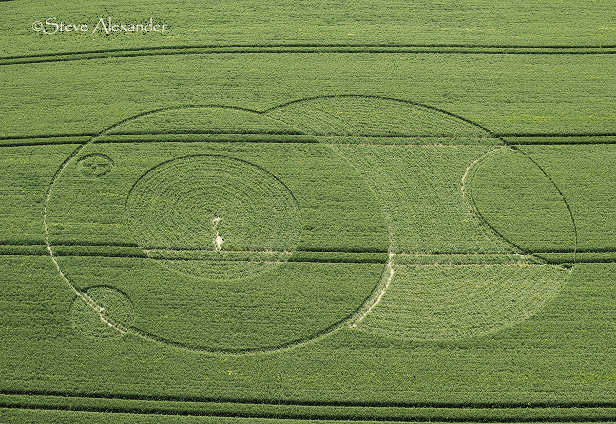
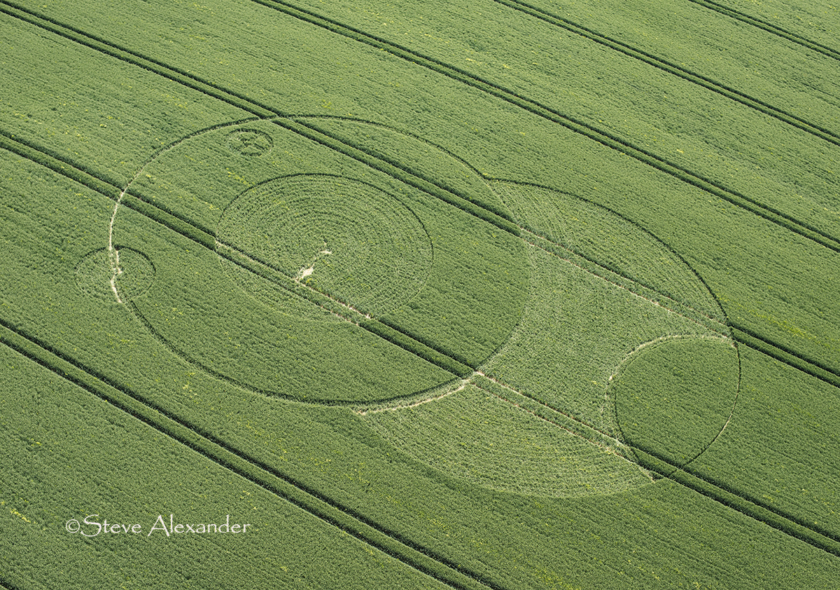
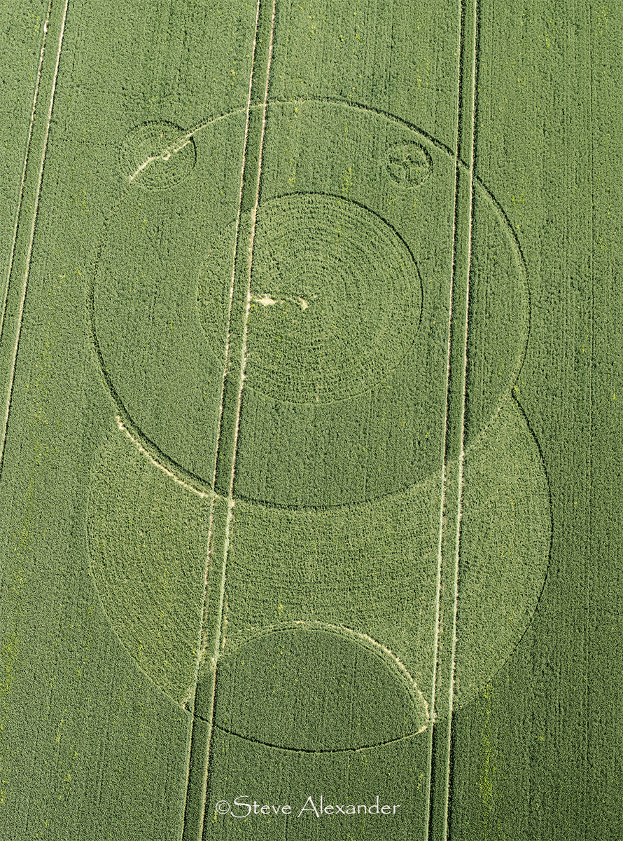
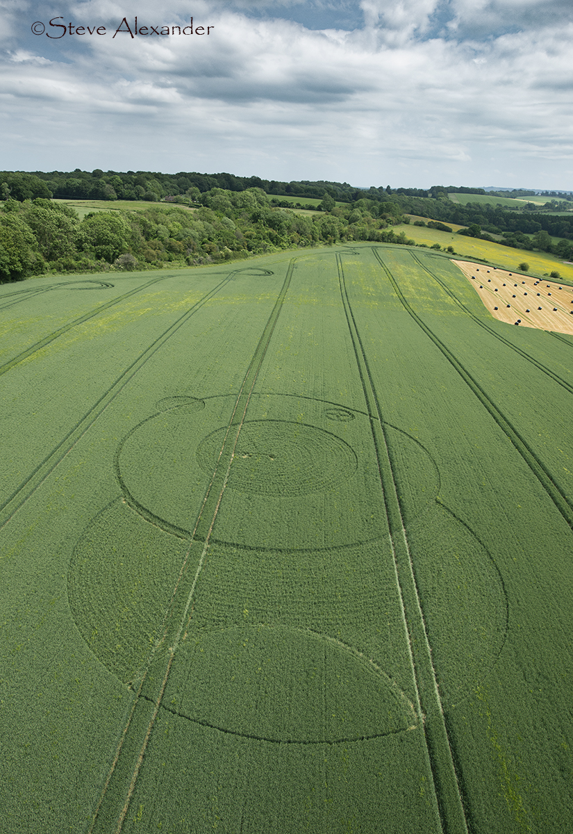


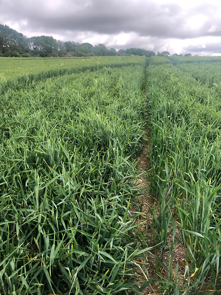
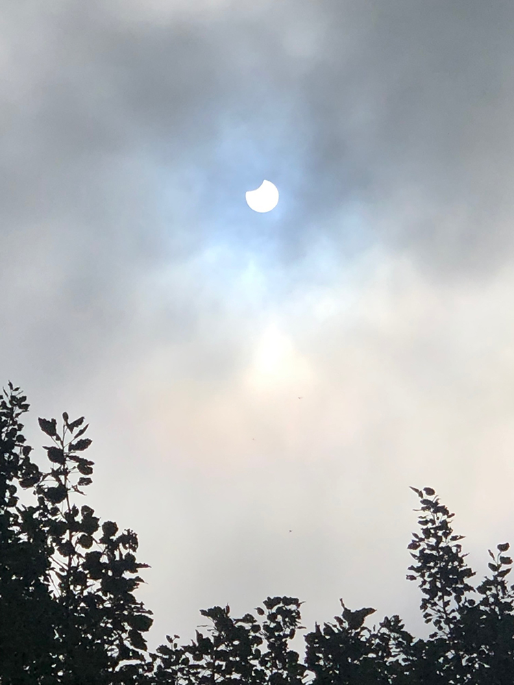
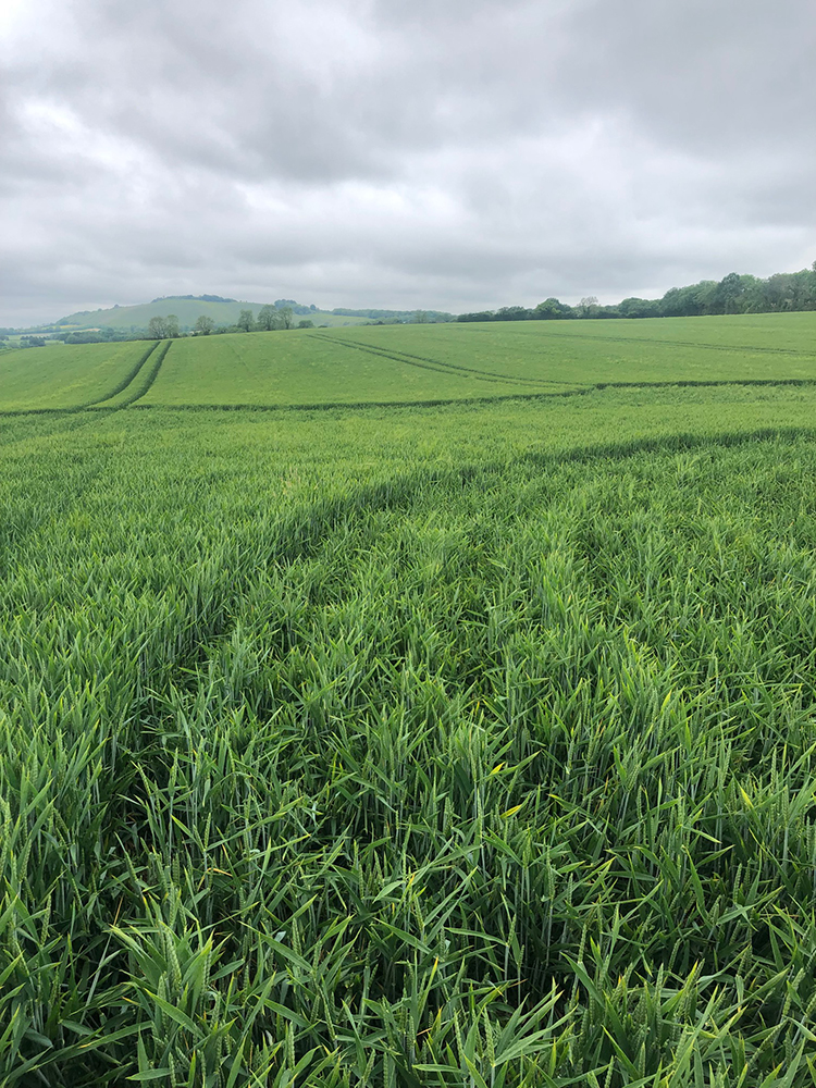
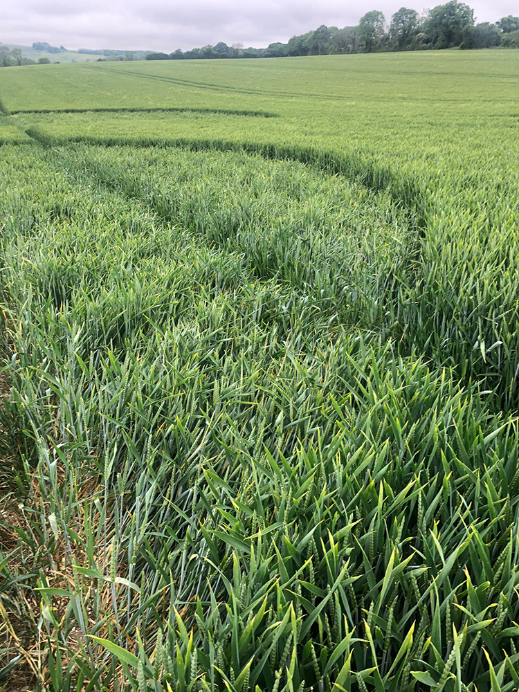
Image Licencing
We can supply high resolution images of many of our photographs and the sky is the limit as to what they can be used for! Choose from our extensive library or contact us to commission aerial photography for your project.
Geometry Gallery
It"s on the drawing board! Check back for updates.
Context Info
As you can see in the gallery below I have included some pictures Ive added here for context. These pictures do not constitute an exhaustive survey of circles that that fit into the categories below, but are of particular note.
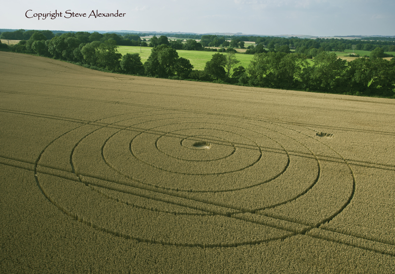
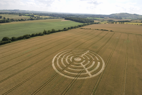
Previous circles near Wootton Rivers
The first two pictures are of circles that have appeared around this area in 2007 and 2012 respectively.
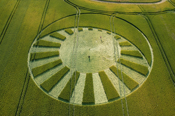
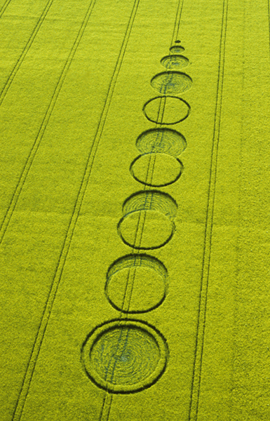
Circles referencing astronomical events
The next two pictures are from 2004 at West Kennett Longbarrow where a stylised sun and moon formation appeared. If you look carefully in the swirled, flattened crop, you can just about see a very small counter-swirled circle. This was widely believed to represent the transit of the planet Venus across the face of the sun visible in the UK that summer.
The final circle in the gallery, in the bright yellow of oilseed rape (canola), dates back to 1999. This crop circle was once again widely acknowledged as referencing the total eclipse of the sun that was visible from the UK that year.
Date
09.06.2021
Crop
Wheat
Visiting
No permission has been given to enter this circle.
Google Maps Link
Further Reading
Find out more on the websites below: